GigaPan Images
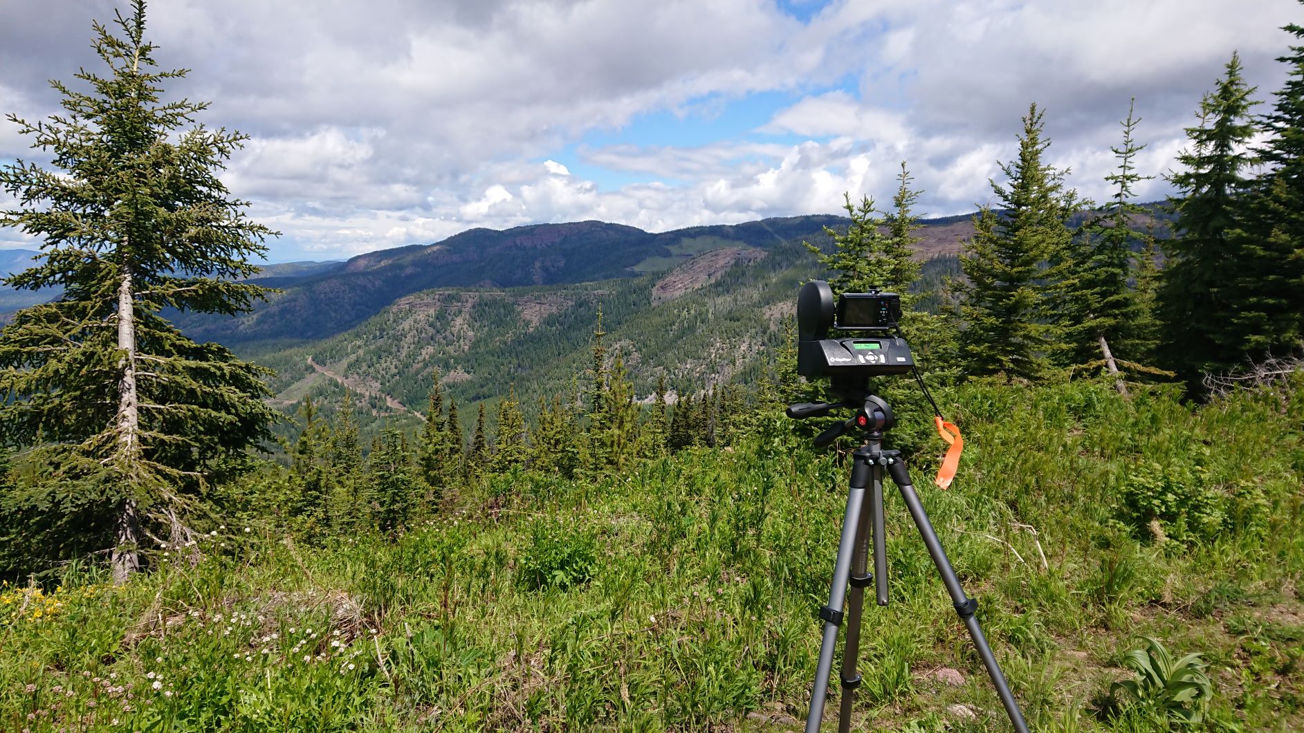
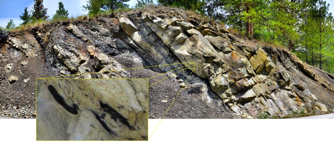
GigaPan images are great ways to learn more about geology and landscapes. When we capture a Gigapan, we use a robotic motor that automates a camera, snapping sometimes hundreds of zoomed images over a scene, such as an outcrop. These images are then seamlessly stitched together using software to produce the final picture which the user can zoom into and see great detail, even from a distance. Below Yukon is taking the GigaPan system on the road to capture images for the site and allow people everywhere to enjoy some of the spectacular geology in British Columbia!
Gallery of Images
Gigapan images we have collected so far are coming soon! To see gigapan images from all over BC check out Below BC’s interactive map and click on the high-res(legend) camera icons in the map.